Winter storm’s snow and ice left scattered power outages, slick roads across central NC
READ MORE
Winter storm in the Triangle
From the forecast and power outages to closings, road conditions and sporting events, here’s everything you need to know about the winter storm in the Triangle.
Expand All
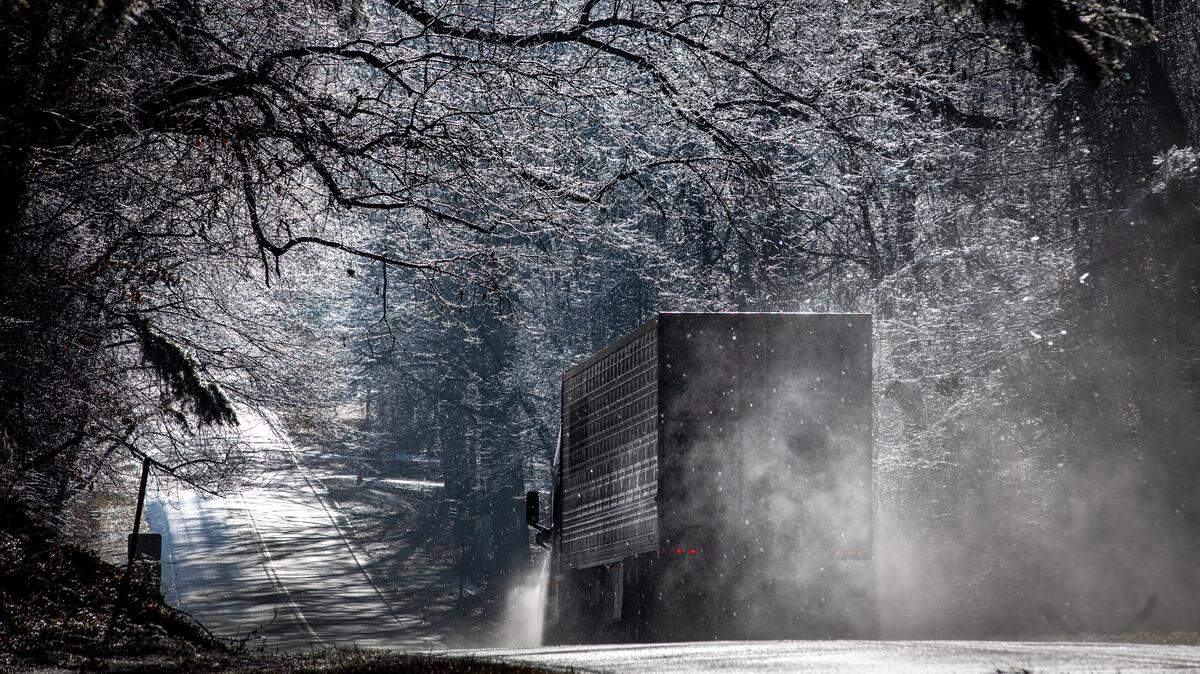
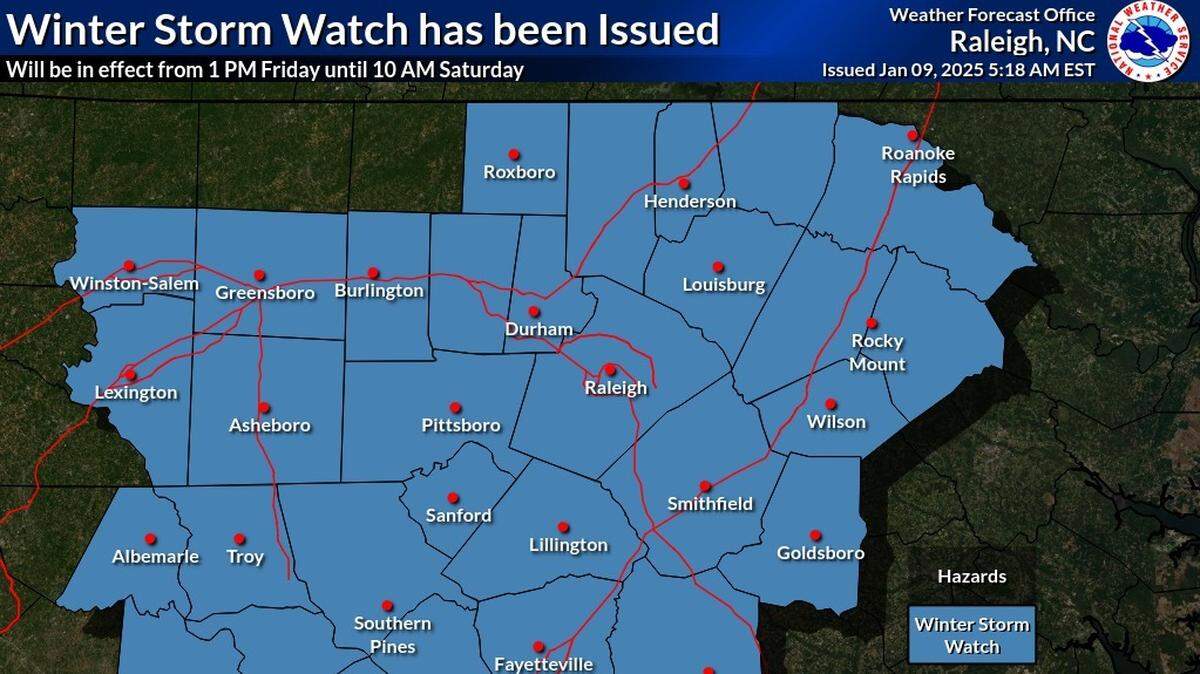
A winter storm that brought snow, sleet and freezing rain to much of central North Carolina headed out to sea early Saturday, leaving power outages and slick roads but expectations of a quick warm-up.
Precipitation stopped across the state by 6 a.m. Saturday, the National Weather Service said, and all winter storm warnings were dropped.
By mid-morning, slick spots remained on untreated roads and bridges but temperatures were expected to climb quickly. By 10 a.m., forecasters said, most of Central and Eastern North Carolina should be above freezing and by afternoon reach the upper 30s in the Piedmont and the mid-40s in the Coastal Plain.
Sunny skies are expected.
Winds will pick up and it will be breezy through most of the day, forecasters say, which could cause additional scattered power outages. But winds will run 10 mph to 15 mph, lower than the big gusts forecasters expected as the storm was on its way.

Where were the heaviest accumulations?
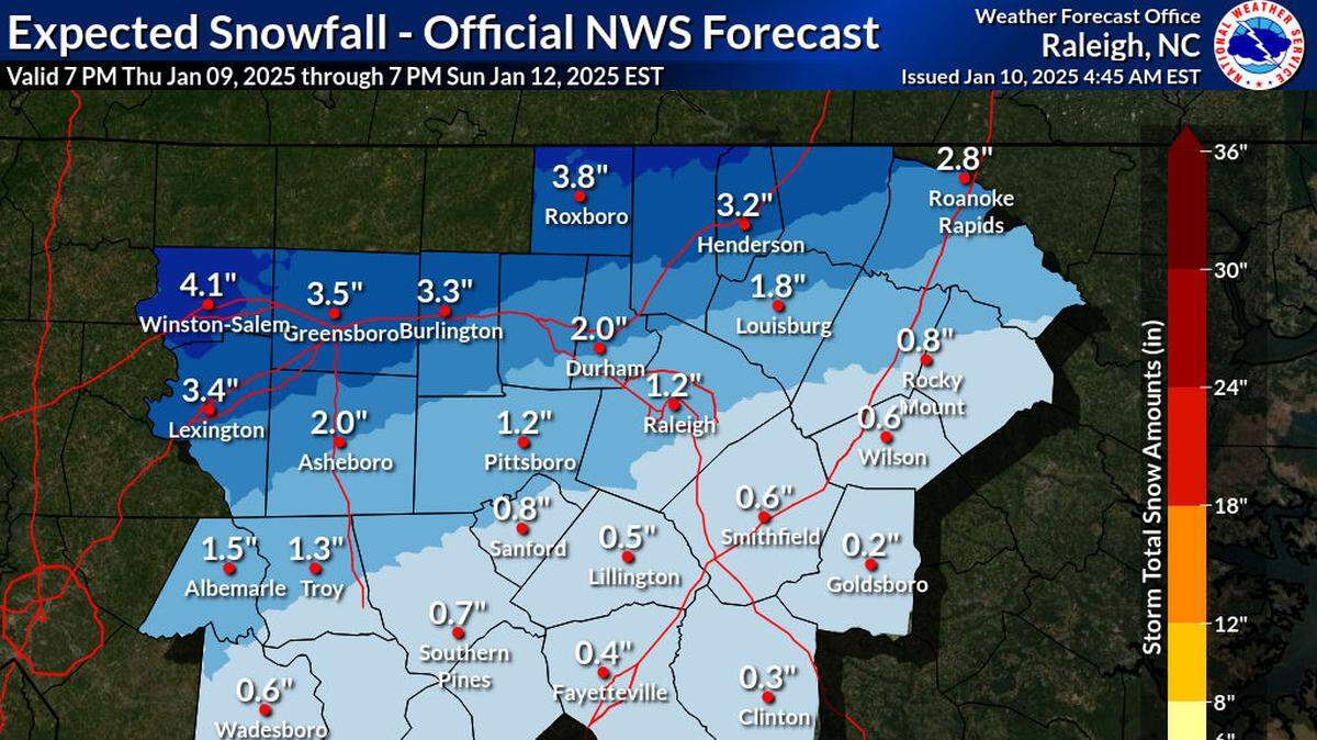
The heaviest snow was north of the Interstate 85 corridor to the Virginia border and in the northwestern Piedmont, where as much as 3 inches fell. One area northeast of Roxboro got 4 inches, the Weather Service said.
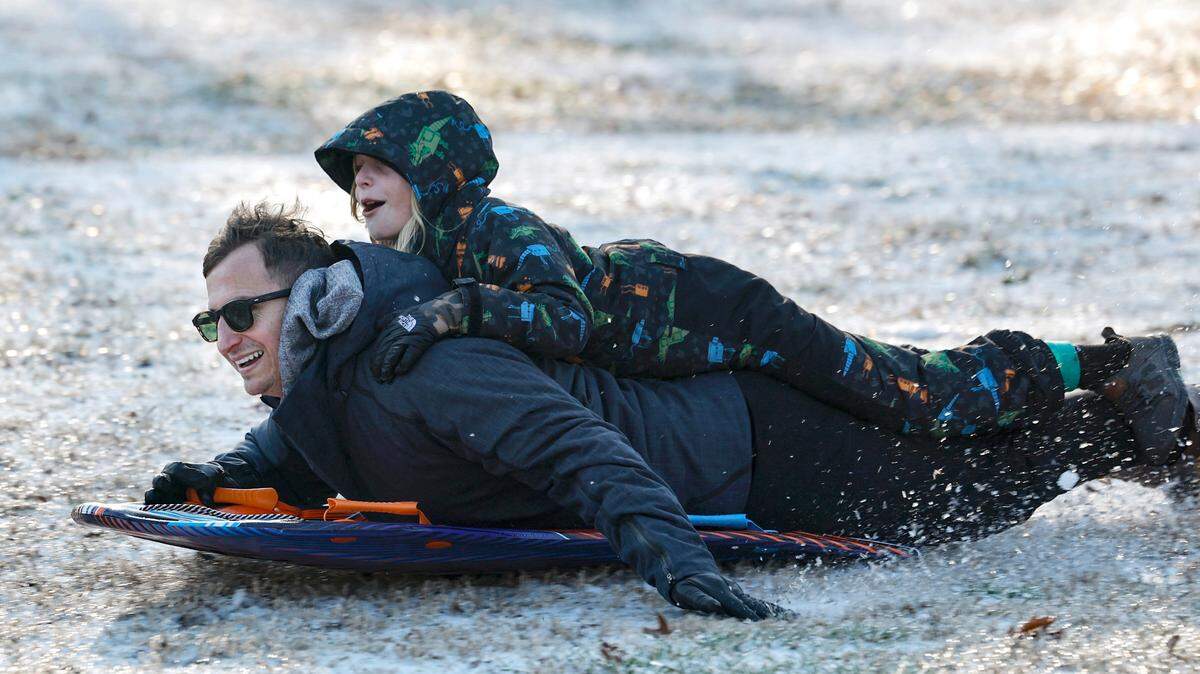
The dividing line between snow and no snow ran through Raleigh, with the northern part of the city getting seven-tenths of an inch of snow and the southern part getting none. But that smidgen was enough to break the “snow drought” that had kept Raleigh from seeing any snow since January 2022.
Snowfall amounts were lower than projected in some areas because a “warm nose” of air about 8,500 feet above the ground turned the snow into sleet or freezing rain, the Weather Service said Saturday. Forecasters had said before the storm that predictive models showed a wide range of potential precipitation amounts, and that snow and ice accumulations would depend on how the storm tracked and how it interacted with the air above the ground.

The threat was enough to get students across central North Carolina out of school for at least part of the day Friday. When snow and sleet began to move across the region in the afternoon and evening, it drew people into their yards and driveways to photograph it against the street lights.
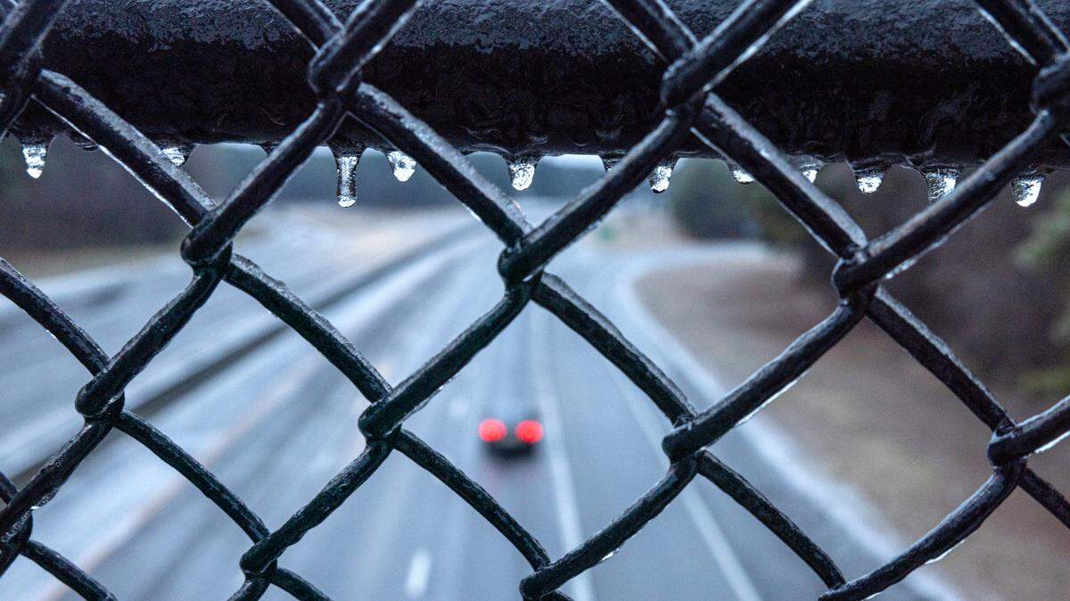
Ice accumulations were heaviest along the U.S. 1 and Interstate 95 corridors, where some areas received more than a tenth of an inch.

In the mountains, Asheville and surrounding areas got 1.5 to 2 inches of snow and sleet from the storm, and storm warnings there expired at noon Saturday. Areas in the northern mountains, including Boone, got up to 4 inches of new snow.
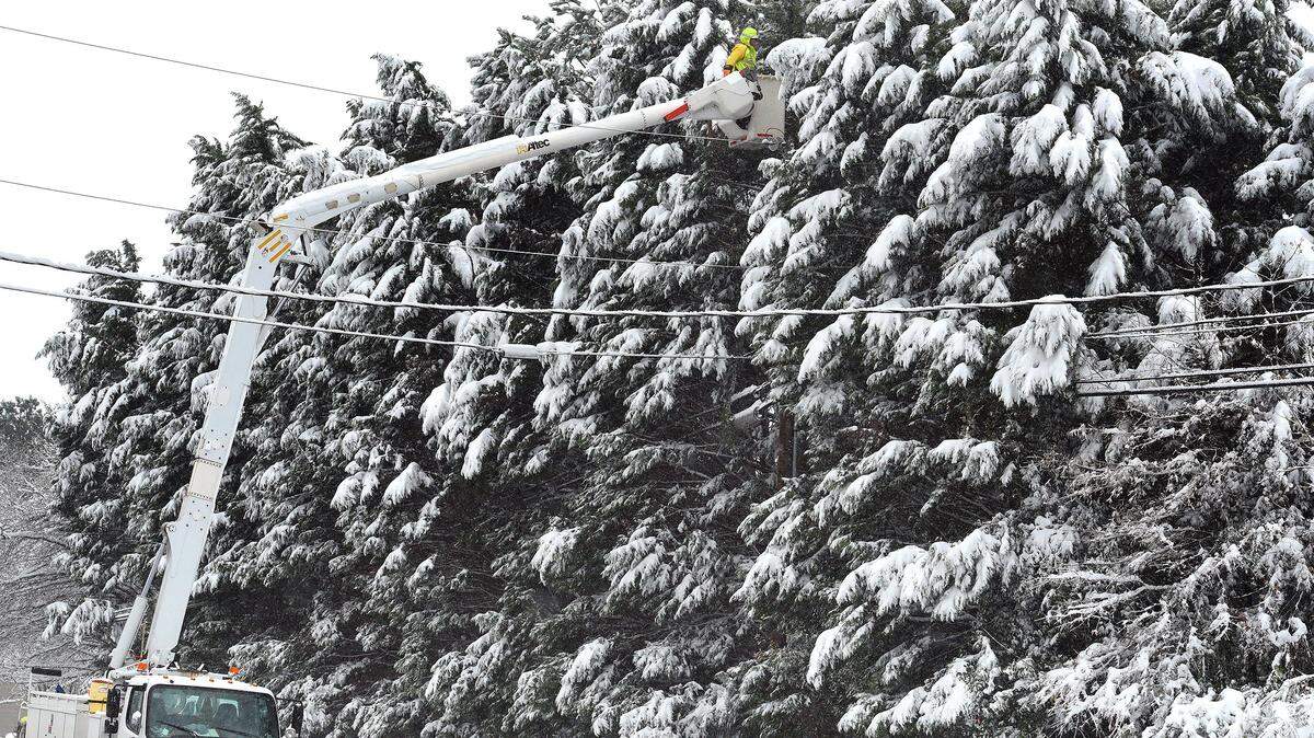
How many people lost power?
Saturday morning, more than 3,500 Duke Energy customers in North Carolina were without power, including 2,000 in the area around Highlands, southwest of Asheville near the Georgia border, about 1,000 in Charlotte and 375 in Raleigh.

Effect on roads and flights
Road conditions improved across the Triangle overnight and no significant crashes were reported. Saturday morning, Wake and Durham counties still reported roads partially covered with snow and ice while Orange and Johnston counties said their roads were mostly clear.

But there are still icy patches throughout the area and black ice could reform Saturday night when temperatures fall back below freezing.
There was a long list of canceled or delayed flights at Raleigh-Durham International Airport Saturday morning but most flights were back on schedule by Saturday afternoon.
Another Arctic blast is coming
Sunday is expected to be sunny with a high temperature in the low 40s.
Early Monday, a high-pressure system is expected to move into the state, dropping temperatures again mid-week. Forecasters say the coldest weather will come late Tuesday through Wednesday night,
Lows Tuesday night will be in the teens and highs on Wednesday will be in the upper 30s to around 40 degrees, forecasters say.

This story was originally published January 11, 2025 at 10:42 AM with the headline "Winter storm’s snow and ice left scattered power outages, slick roads across central NC."