How much snow will Raleigh & central NC get on Friday? Here’s the latest forecast
READ MORE
Winter storm in the Triangle
From the forecast and power outages to closings, road conditions and sporting events, here’s everything you need to know about the winter storm in the Triangle.
Expand All
NOTE: Please see our more recent Friday forecast story.
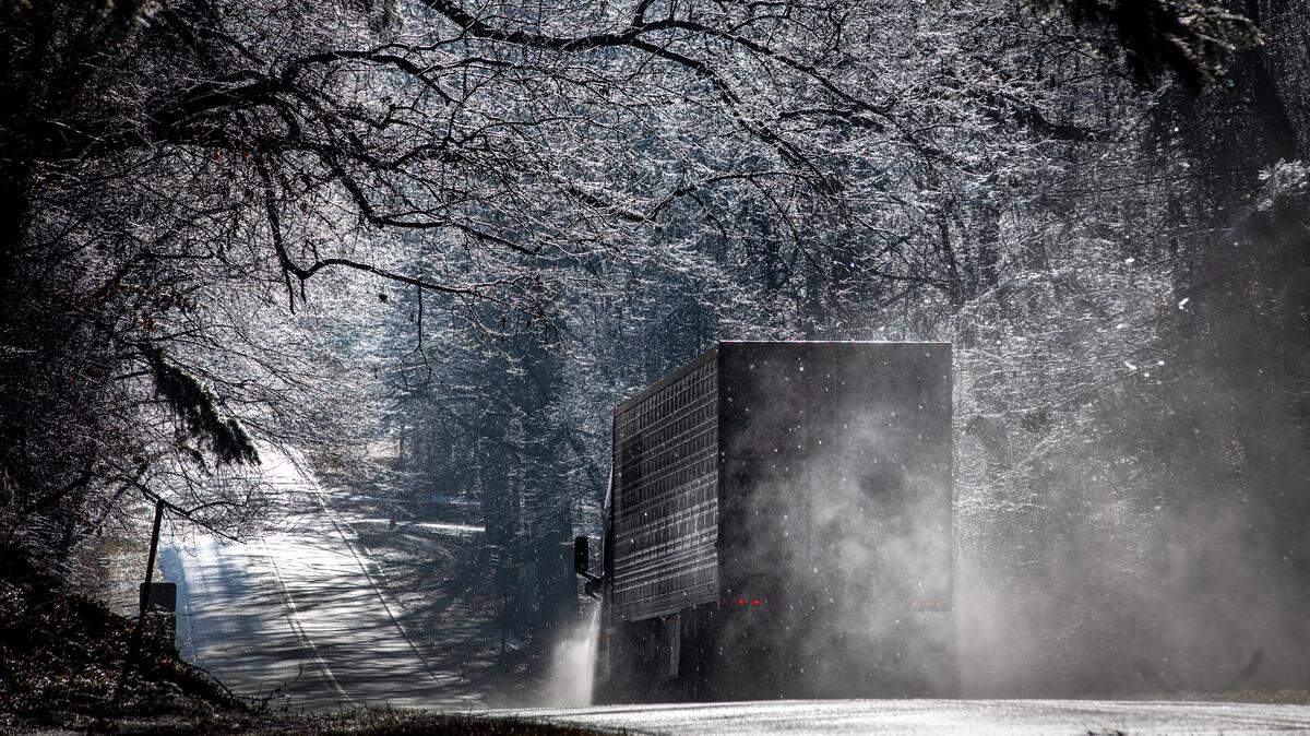
A winter storm is expected to bring snow and ice to much of the central part of the North Carolina beginning Friday afternoon before leaving the state by midday Saturday.
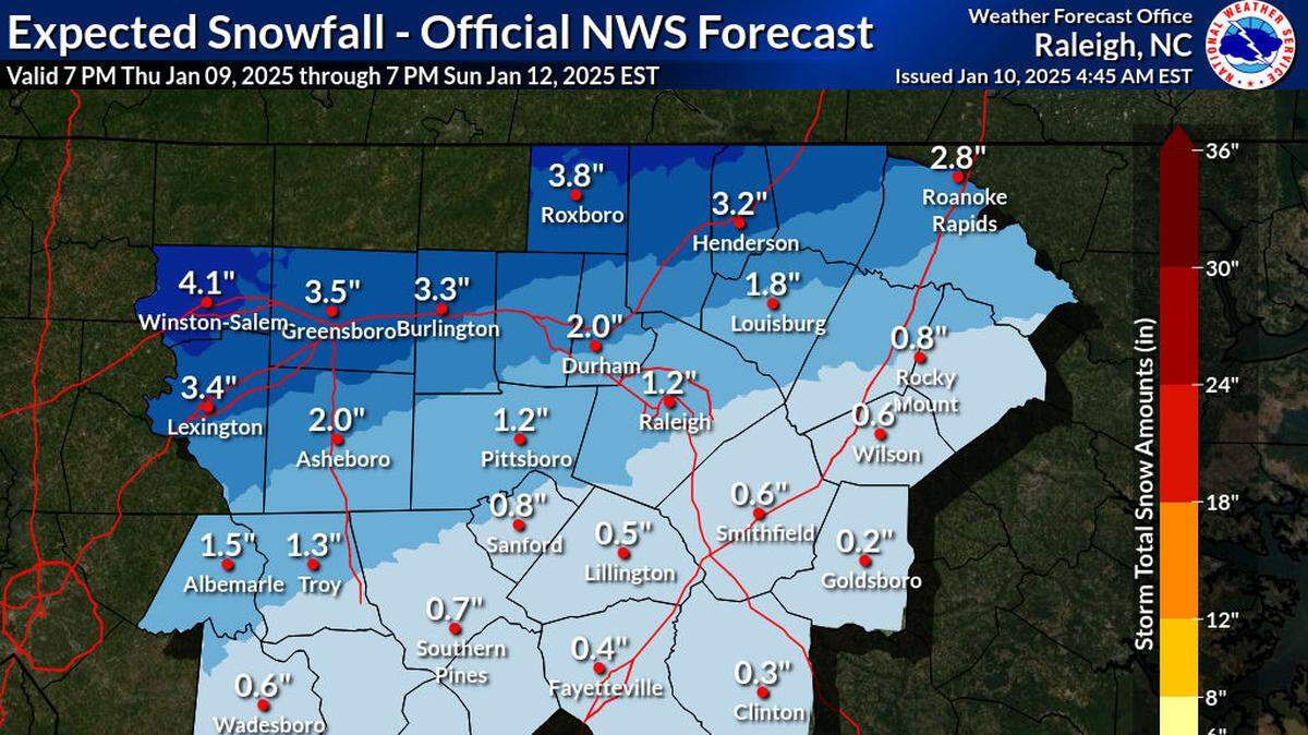
Forecasters said Thursday, Jan. 9, that some areas could get up to 3 inches of snow or as much as two-tenths of an inch of ice, depending on how the storm tracks and how it interacts with the cold air in place over the state.
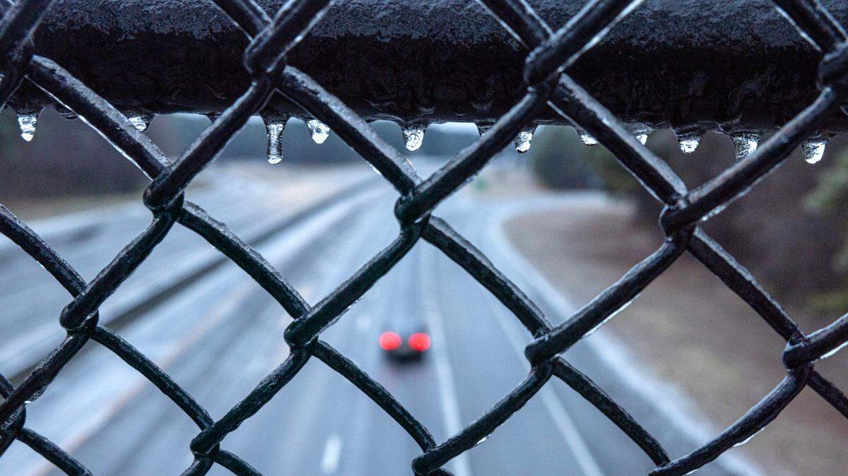
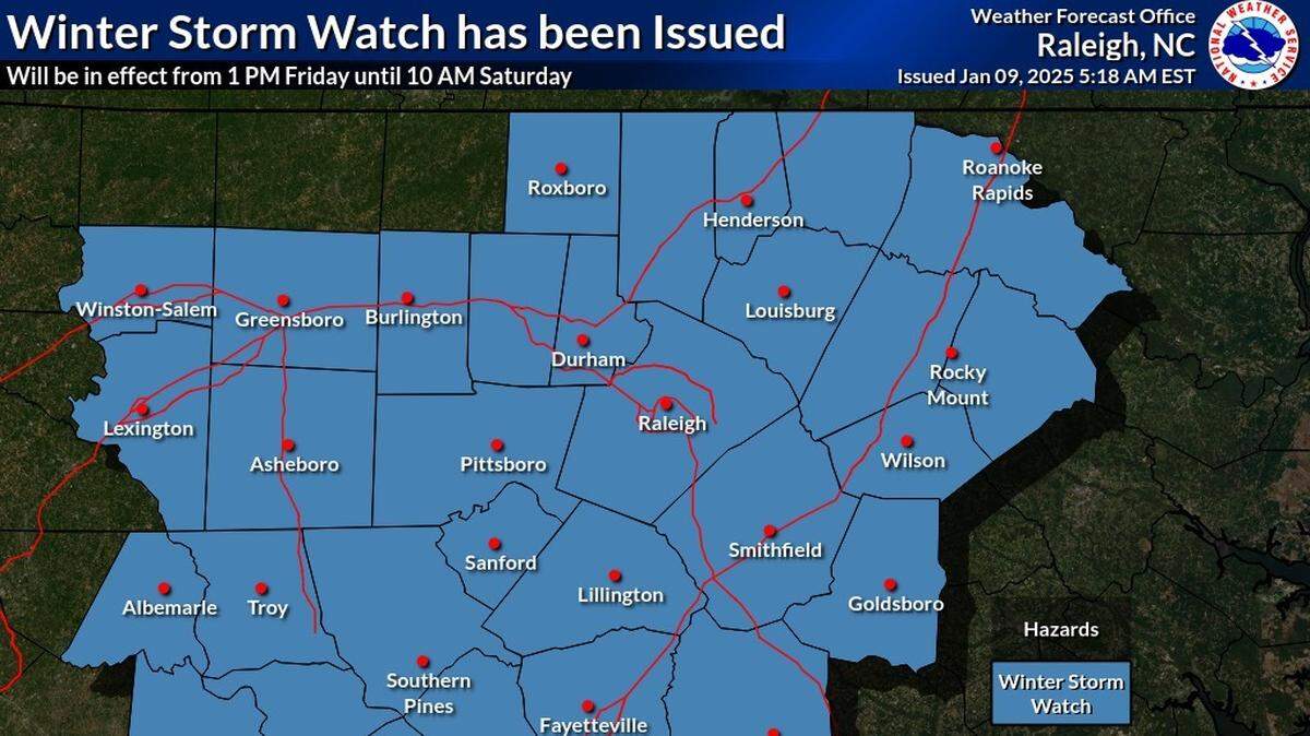
A winter storm warning was issued Thursday afternoon for all of central North Carolina from 1 p.m. Friday to 10 a.m. Saturday. Southeastern counties are under a winter weather advisory for the same period, with total snow and sleet accumulations up to a half-inch and ice accumulations up to one-tenth of an inch.
Late Thursday, Gov. Josh Stein declared a statewide state of emergency, which activates storm response resources and could provide federal reimbursement if necessary.
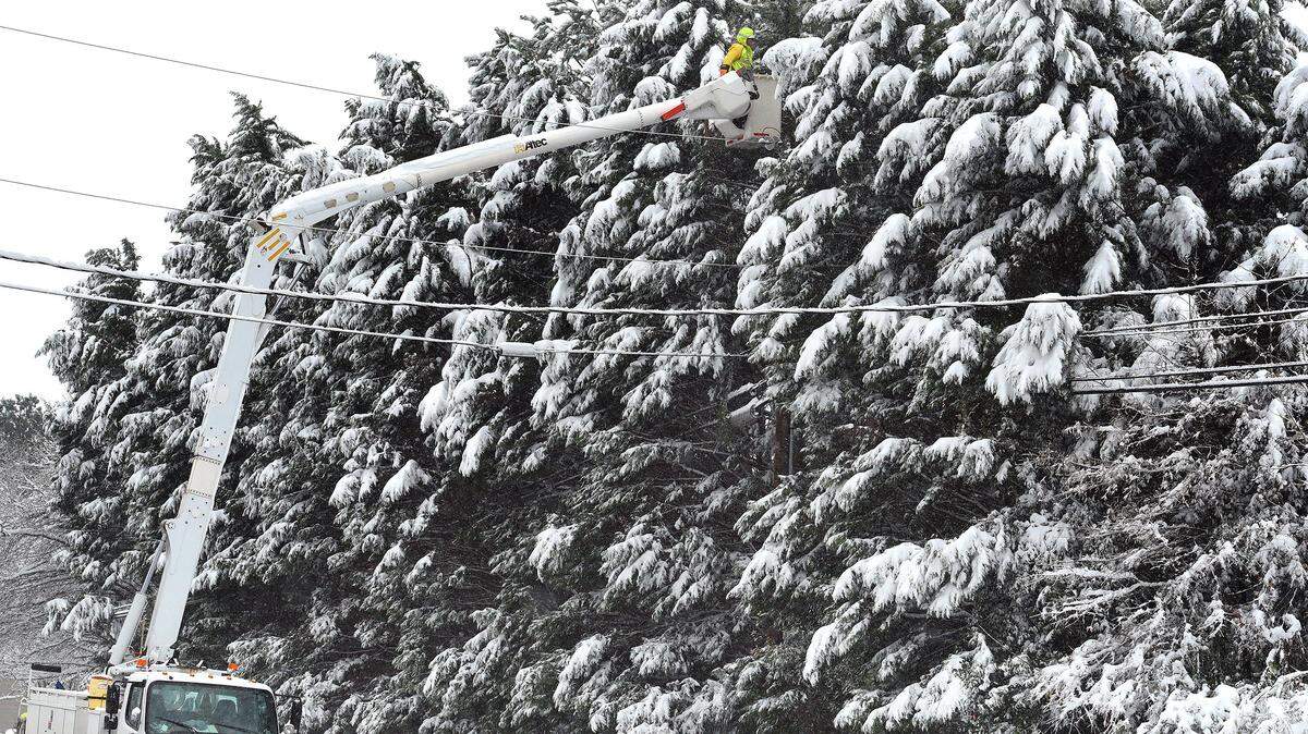
The N.C. Department of Transportation has been brining roads in advance of the storm, and is on deck to plow and treat snow and ice on state-maintained roads, according to a release from the Governor’s Office.

Who will get the most snow?
Thursday morning’s forecast from the National Weather Service said in general, I-85 would serve as the dividing line between snow and ice. Areas in the central part of the state along or north of I-85 will see mostly snow, and areas south of the interstate will see sleet, freezing rain or just rain.
However, forecasters say it’s likely most places will get a mix of snow and sleet, with the types of precipitation switching back and forth as atmospheric conditions change.
Forecasters say light snow will move into central North Carolina from southwest to northeast beginning between 3 p.m. and 7 p.m. Friday. The first places to see snow will be the southern Piedmont and Triad regions, forecasters said.
Snow should start falling in Raleigh and the Triangle around 5 p.m. Friday, the Weather Service said. It should start by 7 p.m. in the northern coastal plain.
Local forecasts show:
Raleigh: Snow and sleet likely before 10 p.m. Friday, then snow and sleet possibly mixed with freezing rain through the night into Saturday morning. Precipitation is expected to stop by around 10 a.m. Saturday, followed by clearing skies and a high around 44 degrees.
Durham: Snow possible after 4 p.m. Friday, then snow, sleet and possibly freezing rain with accumulations of 2.5 inches possible by 7 a.m. Saturday. Clear skies Saturday afternoon with a high around 43 degrees.
Chapel Hill: Snow and sleet likely before 10 p.m. Friday, then snow, sleet and freezing rain possible through Saturday morning. Total accumulation of 2 inches is possible.

School closings & early dismissals
Triangle school districts are bracing for the winter weather.
- Durham Public Schools will be closed Friday.
- The Wake County, Orange County and Chapel Hill-Carrboro school systems will dismiss early on Friday.
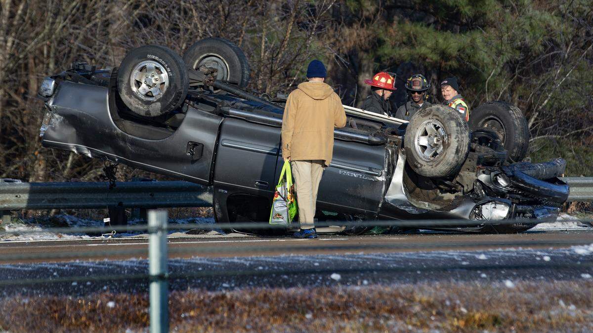
Will it be enough to make driving dangerous?
As they do with a hurricane, when people fixate on categories and wind speeds, forecasters say it’s more important to focus on the impacts of a winter storm than how much snow or ice it may deposit.
“To that point,” the forecast said Thursday, “there will be enough snow and ice accumulations to result in hazardous travel conditions beginning late Friday and lasting through Saturday. Black ice may be a subsequent concern Sunday morning and Monday morning.”
How cold will it be?
The Weather Service predicts that high temperatures will stay in the upper 30s to low 40s through at least the middle of next week. Monday will be the warmest day of the period with a high near 46 degrees. Lows at night will be in the upper teens to lower 20s.
This story was originally published January 9, 2025 at 10:50 AM with the headline "How much snow will Raleigh & central NC get on Friday? Here’s the latest forecast."