How much snow is expected in Raleigh, Eastern NC Tuesday? When & where we’ll see flakes
Snow was falling across most of central and Eastern North Carolina Tuesday night, Jan. 21, as a storm system moved into the state and met up with Arctic air.
Here’s what we know.

Will the Raleigh area get snow Tuesday night?
By 10 p.m. Raleigh, the National Weather Service had reports of up to an inch of fallen snow in Raleigh, with more expected before ending in the early morning hours Wednesday. Accumulation of up to 2 inches is possible, the National Weather Service said. Winds could gust as high as 25 mph.
The Weather Service said about 1 inch of snow had fallen in Chapel Hill just before 10 p.m., and about eight-tenths of an inch in Durham.
At least three-tenths of an inch of snow had fallen in Greensboro, but the Weather Service said snow was ending there by 10 p.m. and would end over the next several hours from west to east across the state.

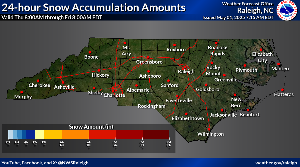
Where is the heaviest snowfall expected in NC?
Meteorologists say the track of the low-pressure system now moving out of the Mississippi Valley has been hard to predict in part because of the high-pressure system that moved into North Carolina Sunday night and Monday. Forecast models have different ideas about how far the low, which brings the moisture, will be able to push into the state against the high, which brought the Arctic cold.
As of Tuesday evening, National Weather Service forecast maps showed the highest potential accumulations in two spots near the coast: 6 to 8 inches in the area from Beaufort to Manteo, and 4 to 6 inches from Wilmington to Elizabeth City.
Amounts decrease as you move away from the coast.

How long will the bitter cold last?
Temperatures are expected to begin rising only slightly later in the week. Highs across central and Eastern NC will be in the low 30s Tuesday and Wednesday, the upper 30s to around 40 on Thursday, low 40s on Friday and mid-40s on Saturday.
Low temperatures will drop into the teens and 20s through the week, and the wind will make it feel even colder.
Slick road possible Tuesday night, Wednesday morning
Even a good dusting of snow is likely to stick to untreated surfaces when it’s been cold as it has been across the state this week.
That can create slick conditions like the ones that unexpectedly brought Raleigh to a standstill during Raleigh’s “Snowmageddon” 20 years ago, when a half-inch of snow turned to ice and caused gridlock across the city.
That’s why crews have been spreading brine since Saturday, the N.C. Department of Transportation said Tuesday, coating all major roads and getting to secondary routes as much as possible. Once the snow starts falling, plows and rock-salt spreaders can be deployed as needed.
Closures and delays announced so far
A number of Triangle area schools and organizations are announcing closures or delays due to inclement weather.
Wednesday, Jan. 22
- Wake County schools are closed Wednesday, January 22, due to inclement weather. No make-up day will be required. All calendars will use banked time. Athletic and extracurricular events on Wednesday are canceled.
- Durham Public Schools are closed Wednesday, Jan. 22. It’s an optional remote workday for staff.
- Chapel Hill-Carrboro City Schools will be closed on Jan. 22.
- Orange County Schools will be closed on Jan. 22.
- Johnston County Schools will have a remote learning day for all students on Jan. 22. After-school activities and events are canceled.
- Harnett County Schools canceled after-school activities and events Jan. 21. On Jan. 22, it will have an asynchronous remote learning day for all students, and after-school activities are canceled.
GoTriangle will operate a delayed service beginning at noon.
Another winter storm is possible Thursday
Forecasters say another low will bring the chance of rain, snow and freezing rain to the central coast of North Carolina Thursday through Thursday night. Accumulation of less than 1 inch is expected from that system.

This story was originally published January 21, 2025 at 9:56 AM with the headline "How much snow is expected in Raleigh, Eastern NC Tuesday? When & where we’ll see flakes."
