Tropical Storm Franklin and other storms keep forecasters’ focus on the Atlantic
Three weather disturbances continued to move through the Atlantic on Wednesday and forecasters are watching to see whether any will develop into threats for the U.S. coastline next week. For now, it appears unlikely any will come close enough to be a menace.
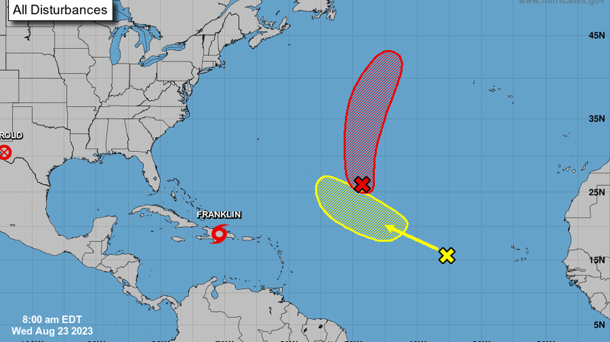
Tropical Storm Franklin made landfall in the Dominican Republic Wednesday morning, bringing heavy rains and strong winds to Hispaniola. With 5 to 10 inches of rain forecast — and up to 15 inches possible in some areas — weather experts are concerned about landslides in both the Dominican Republic and neighboring Haiti.
NOAA forecasts show Franklin moving north toward the Turks and Caicos Islands by Thursday morning and then back into the Atlantic. By Sunday, Franklin is expected to strengthen into a Category 1 hurricane, but forecasters say the storm should track north through the Atlantic next week without coming close enough to cause problems for the U.S. coast, including North Carolina.
Other systems on the radar
▪ Emily — or, the remnants of Emily, after it was downgraded from a tropical storm — remains in the central tropical Atlantic. NOAA said Wednesday it’s still possible the system could redevelop into a tropical storm late this week or over the weekend. However, forecasts show the storm moving north-northeast, away from the U.S.
▪ A system in the eastern tropical Atlantic continued to produce rain and thunderstorms several hundred miles west of the Cabo Verde Islands on Wednesday, NOAA said. Forecasters said that though the system will move west-northwest over the Atlantic during the next week, it appears unlikely to develop into a tropical storm.
The next storm names for the current Atlantic hurricane season are Idalia and Jose.
This story was originally published August 22, 2023 at 11:43 AM with the headline "Tropical Storm Franklin and other storms keep forecasters’ focus on the Atlantic."
